
An electric vehicle route planner is software that calculates a journey by integrating battery level, vehicle model, and the location of compatible charging stations. Its role is to determine where, when, and how long to charge in order to reach the destination without running out of energy.
Multi-criteria optimization: what distinguishes recent planners
Early planners were limited to placing charging stations along a linear route. Next-generation tools work differently: they simultaneously optimize distance, total time, and charging cost.
The new Chargemap engine, for example, allows for a reduction in the number of charging stops and a decrease in overall cost on a price-optimized route compared to its previous version. This ability to balance multiple variables significantly changes planning, especially on journeys of several hundred kilometers.
When preparing a route calculation for electric vehicles with charging stations, the difference between a basic tool and a multi-criteria planner can be measured in tens of minutes saved on a one-way trip. The basic planner suggests the nearest station to the midpoint, while the multi-criteria tool may recommend a slight detour to an ultra-fast station that reduces overall stop time.

Vehicle data and charging curve: the foundation of the calculation
A reliable route relies on the actual charging curve of the vehicle, not on its theoretical maximum power. The speed at which a battery accepts energy varies according to its charge level: fast between 10 and 60%, then significantly slower beyond 80%.
Serious planners incorporate this curve for each model. They calculate that it is often better to stop briefly twice between 10 and 60% rather than once while charging to 100%. The total travel time is thus shortened.
For the calculation to be accurate, the planner needs three minimum pieces of information:
- The exact model of the vehicle (a Peugeot 208 electric and a Renault 5 e-Tech do not have the same charging curve or highway consumption)
- The battery level at departure, which determines whether a first stop is needed quickly or not
- The expected driving conditions, as consumption at 130 km/h on the highway differs significantly from that at 90 km/h on national roads
Without these parameters, the software applies averages that can overestimate or underestimate the actual range by several dozen kilometers.
Built-in planner or smartphone app: which tool to prefer
Two approaches coexist for calculating a route with charging stations. The first involves a dedicated mobile application (Chargemap, Electus, ABRP). The second uses the multimedia system integrated into the vehicle.
The Renault 5 e-Tech, for example, uses integrated Google Maps as a built-in planner with automatic recalculation based on the battery. The advantage is direct: the system knows the exact charge level in real-time and adjusts stops without manual intervention.
The Electus app has announced its arrival on CarPlay, with the ability to connect the car, let the app calculate stops based on the battery, and replace stations on the fly. This type of integration reduces the need to manipulate a phone placed on the dashboard.
When the app is preferable to the built-in system
The manufacturer’s built-in planner does not always reference all charging networks. Some systems favor their commercial partners. A third-party app offers broader coverage of available networks, which becomes crucial in rural areas where the network is sparser.
Feedback from drivers who have traveled across Europe in a Peugeot 208 electric shows that combining the built-in planner (for real-time recalculation) with a community app (for reporting non-functional stations) is the most reliable configuration.
Real-time recalculation and community reports
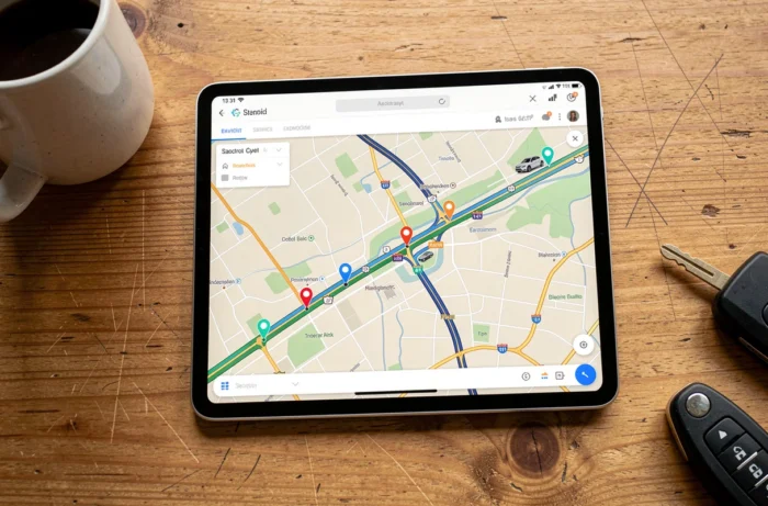
A route calculated the day before departure can become obsolete on the morning of the trip. A fast charging station reported as available may be out of order or occupied upon arrival. The dynamic recalculation during the journey is the feature that separates a useful planner from a mere consultation tool.
Community apps like Chargemap aggregate user reports in real-time: out-of-service station, queue, cable too short for some vehicles. This information allows the planner to suggest an alternative station even before arriving at an unusable charging point.
During holiday departures, when the usage of highway charging stations increases significantly, this redirection capability saves considerable time. Several testimonials from drivers who went on vacation in an electric vehicle confirm that queues at charging stations are the main annoyance, even more than the range itself.
Check connector compatibility before departure
The planner normally filters stations according to the vehicle’s connector type (CCS Combo, Type 2, CHAdeMO). A manual check remains useful for isolated or recently installed stations whose metadata may not yet be updated in databases.
Preparing for a long trip in an electric vehicle does not take more time than a thermal trip if the calculation tool is properly set up with the correct vehicle model. The only habit to adopt is to start the calculation with the actual battery level just before departure, so that the proposed stops correspond to the reality of the trip.